Work

<Internship> Concordia NGCI - CITYplayer Chinatown

Digital Twin
Gamification
Sandbox Game

An internship record for Concordia's Next-Generation Cities Institute

RealityCompareGate

Introduction

1. Urban Reconstruction: From Satellite to Simulation

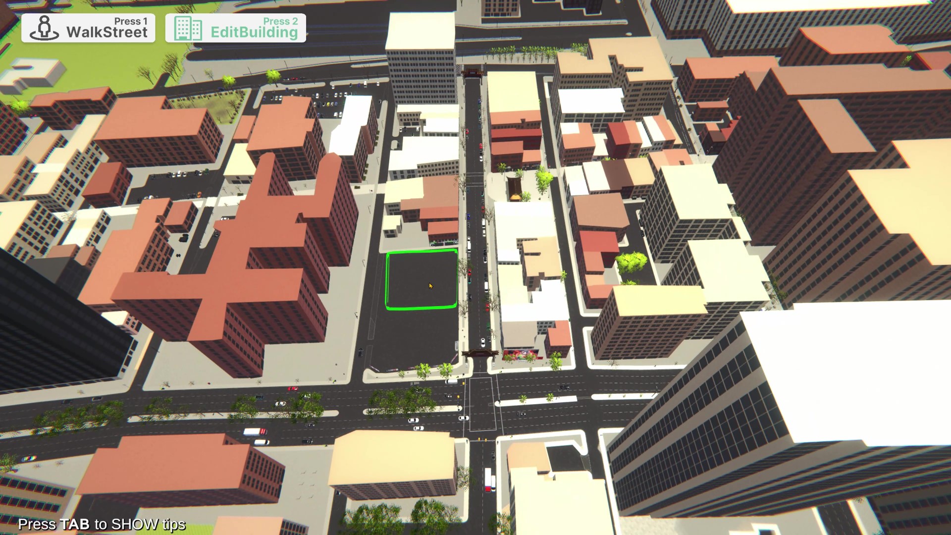
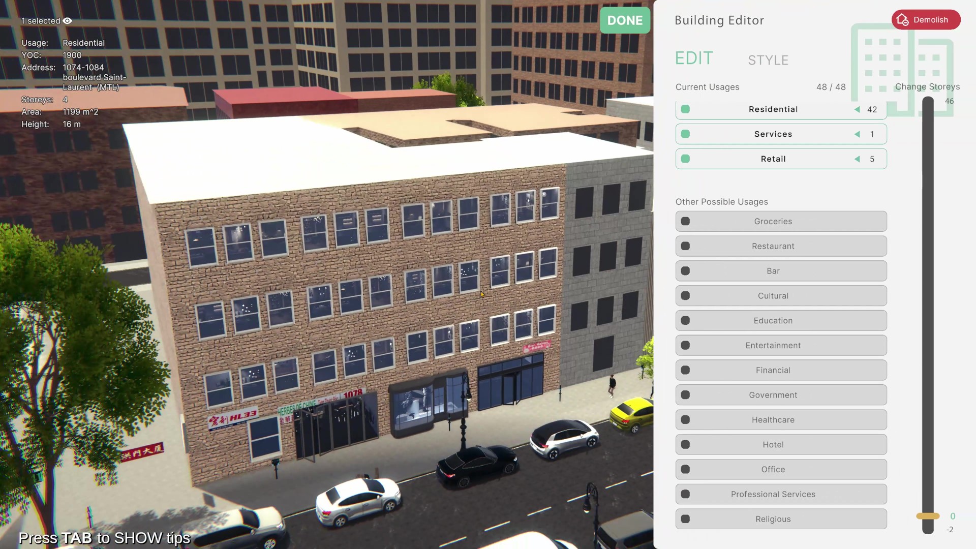
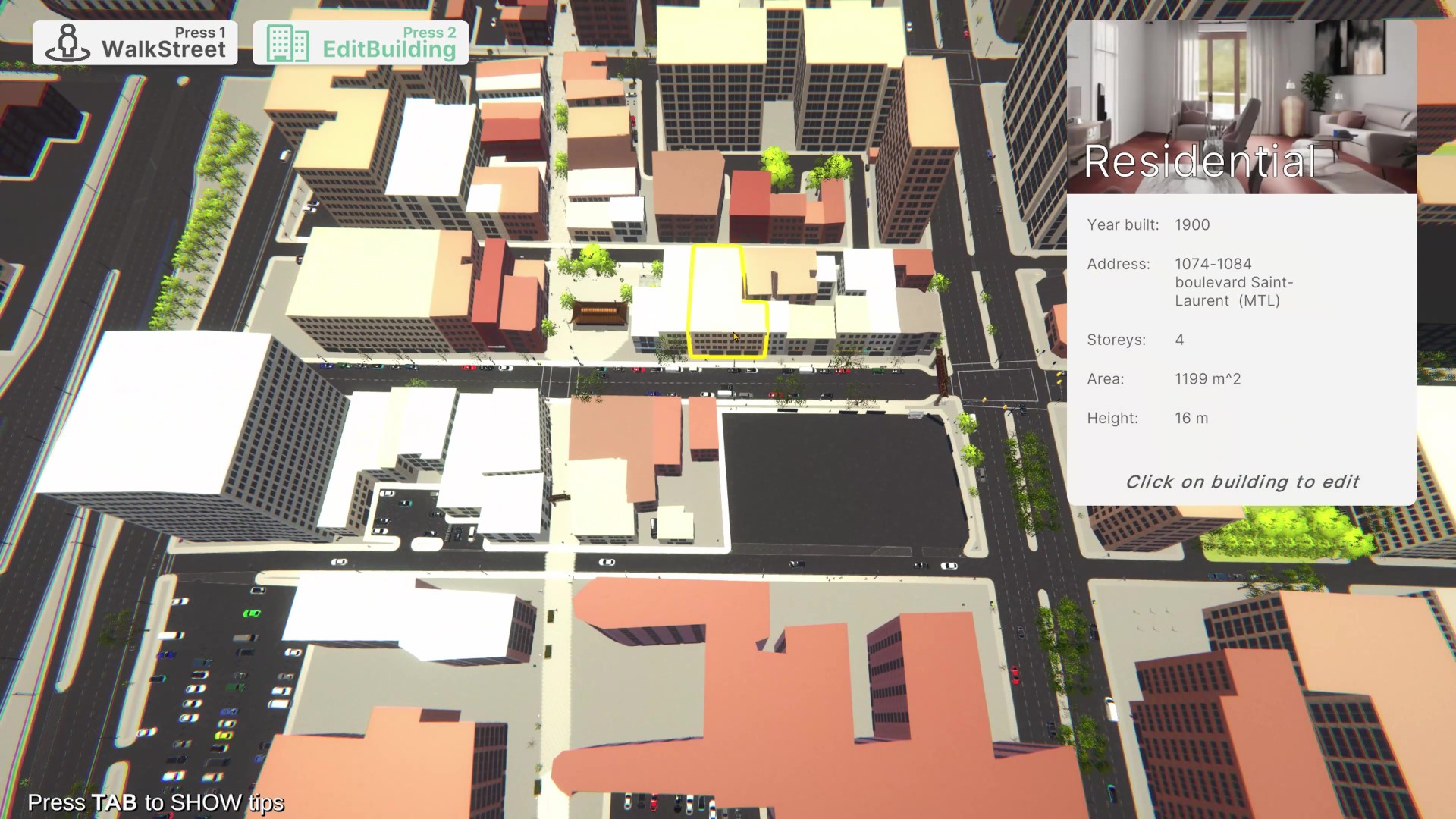
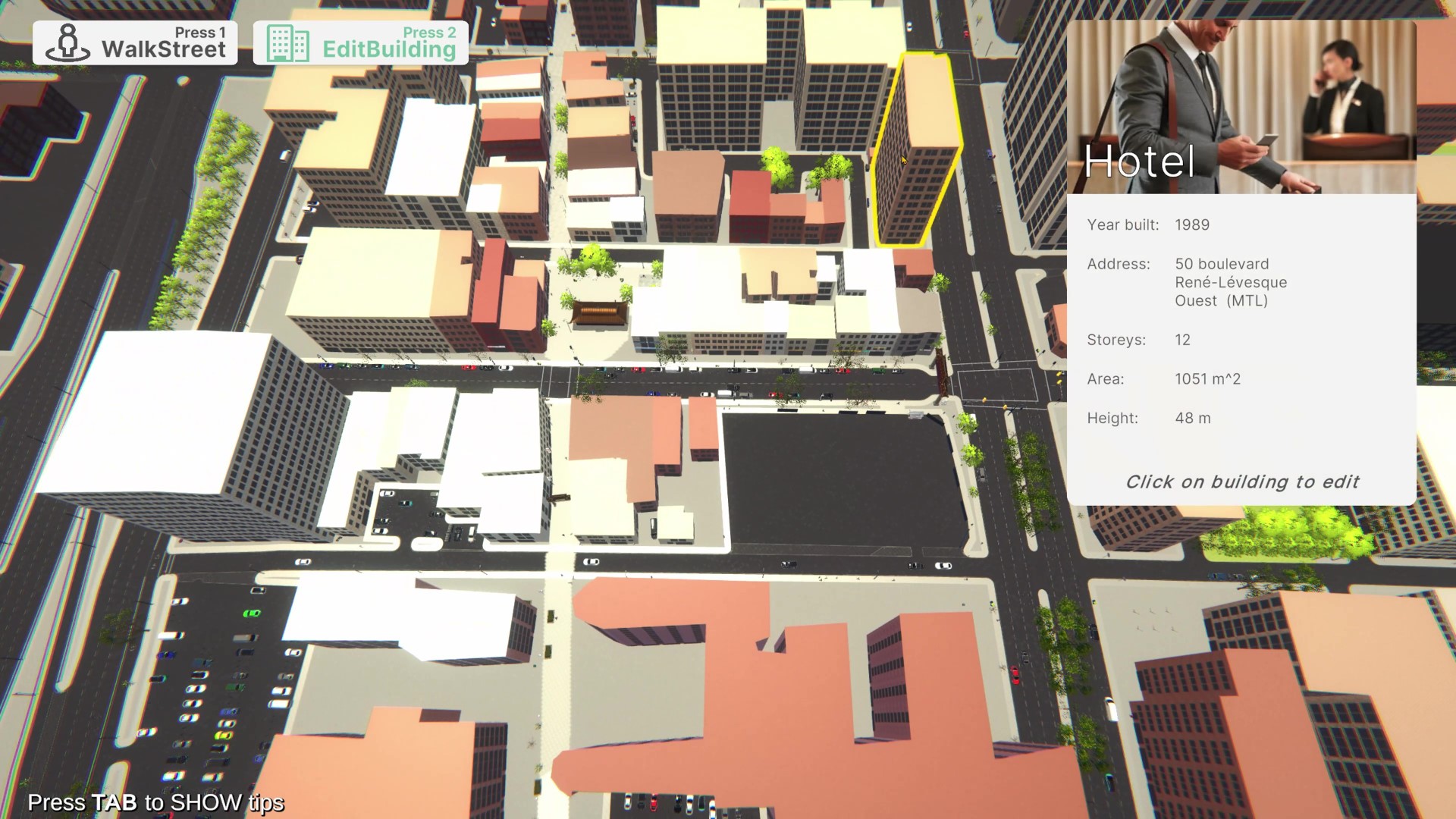
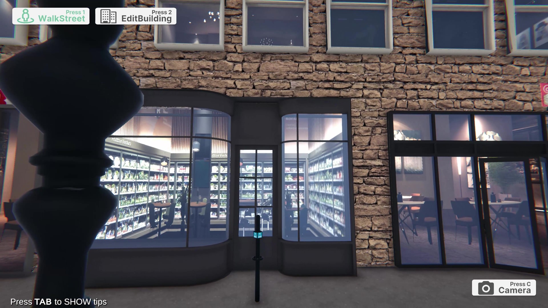
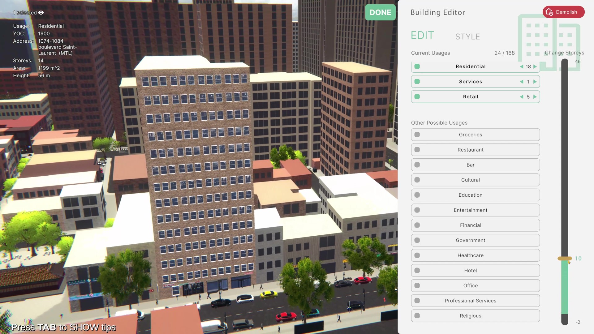
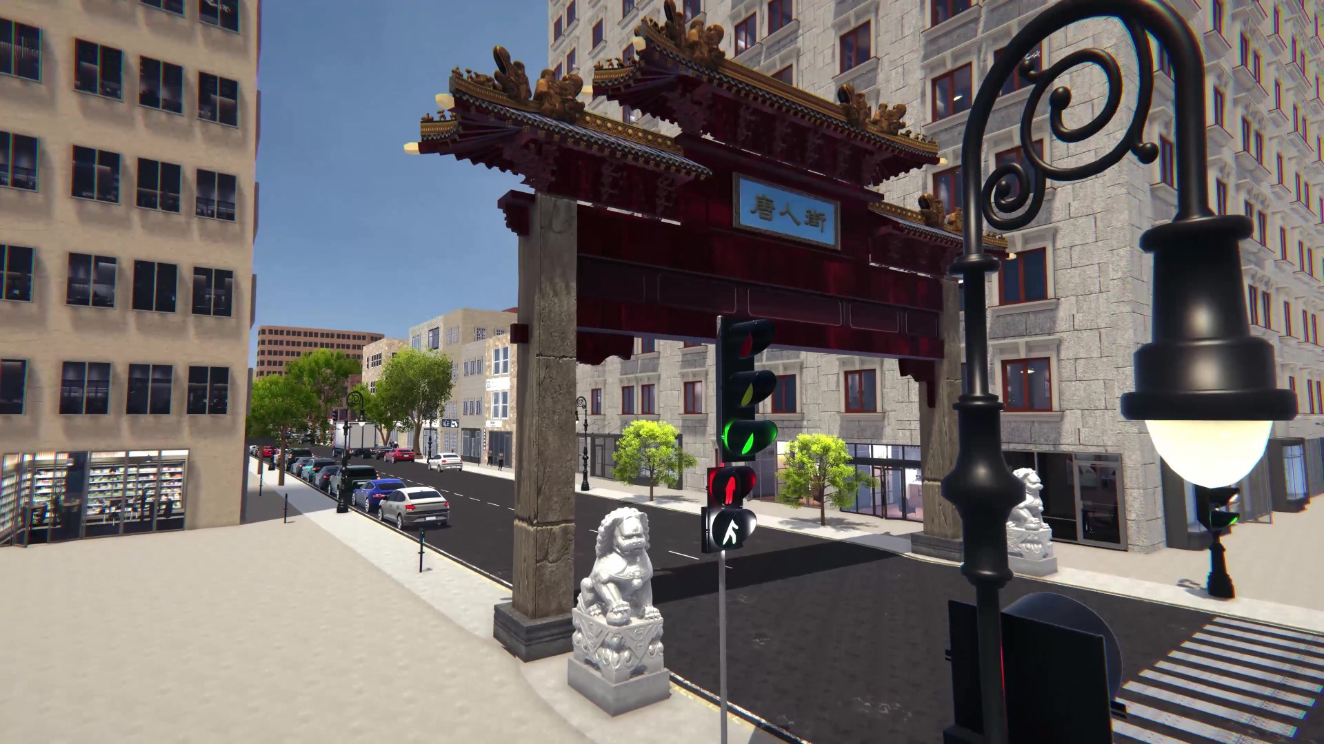
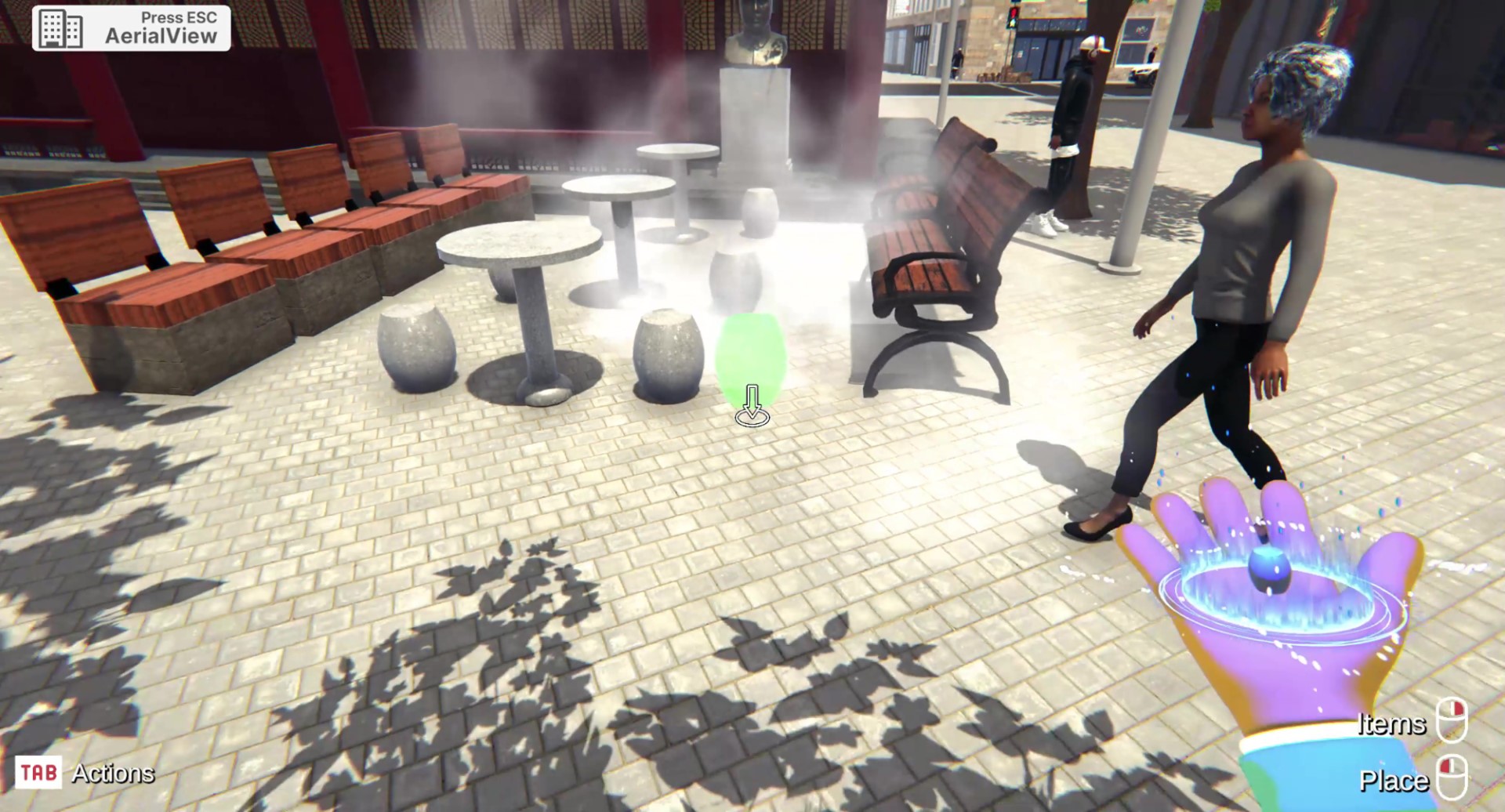
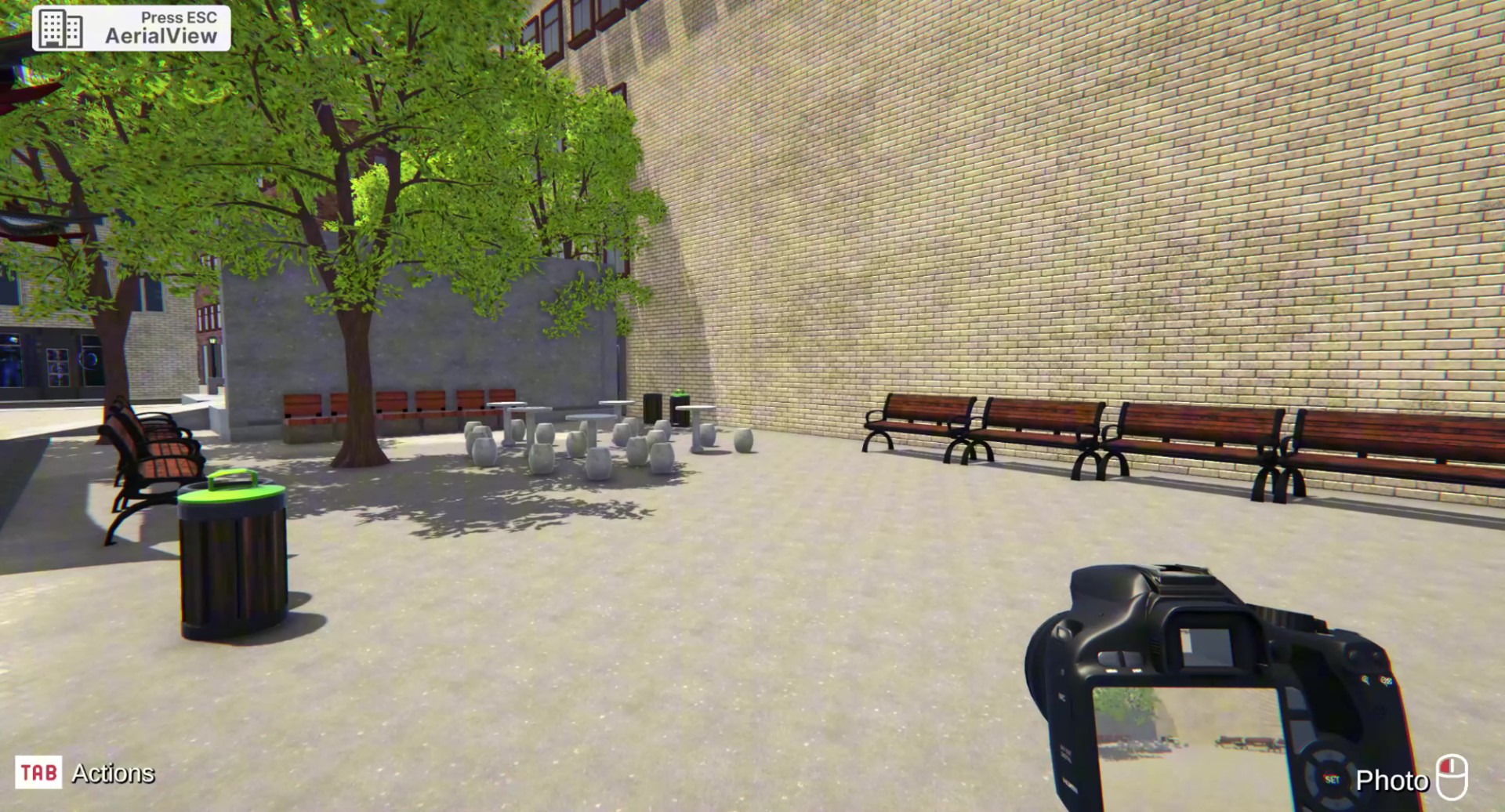
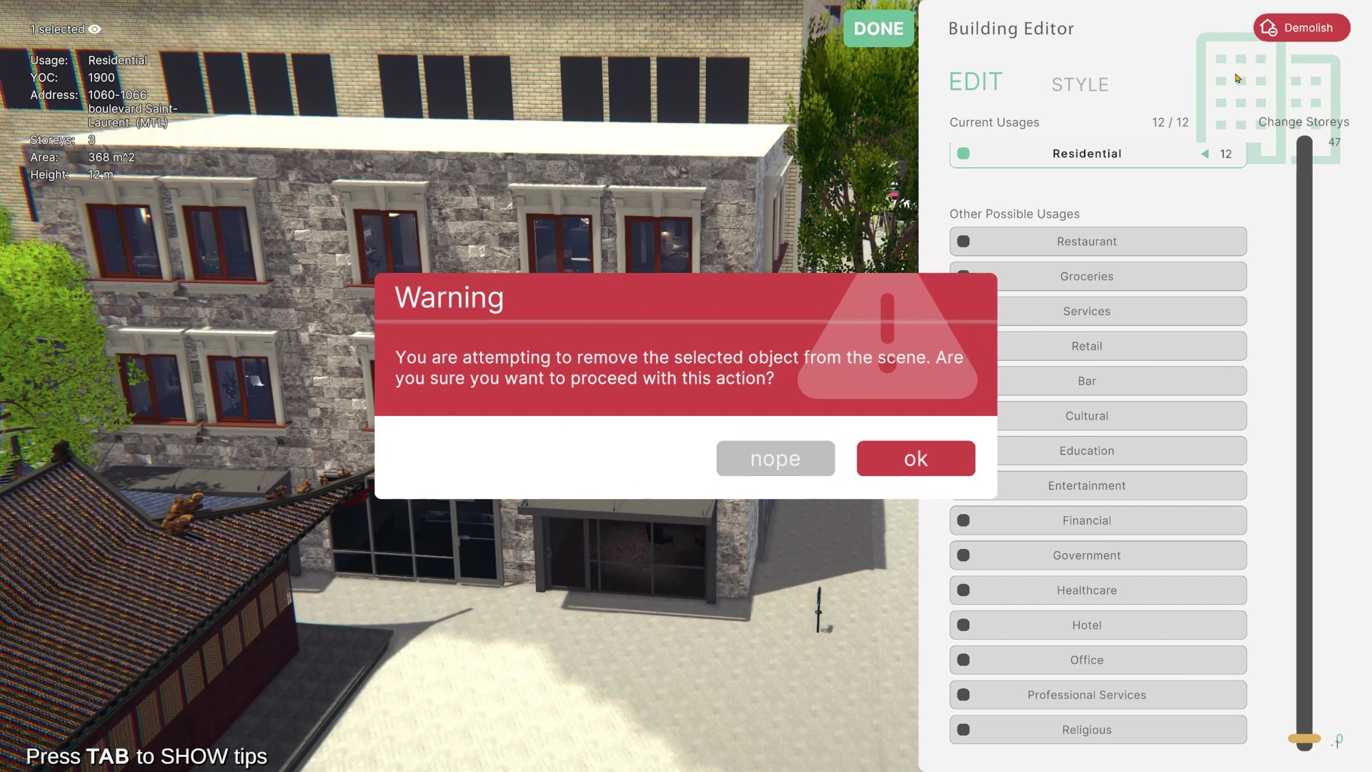
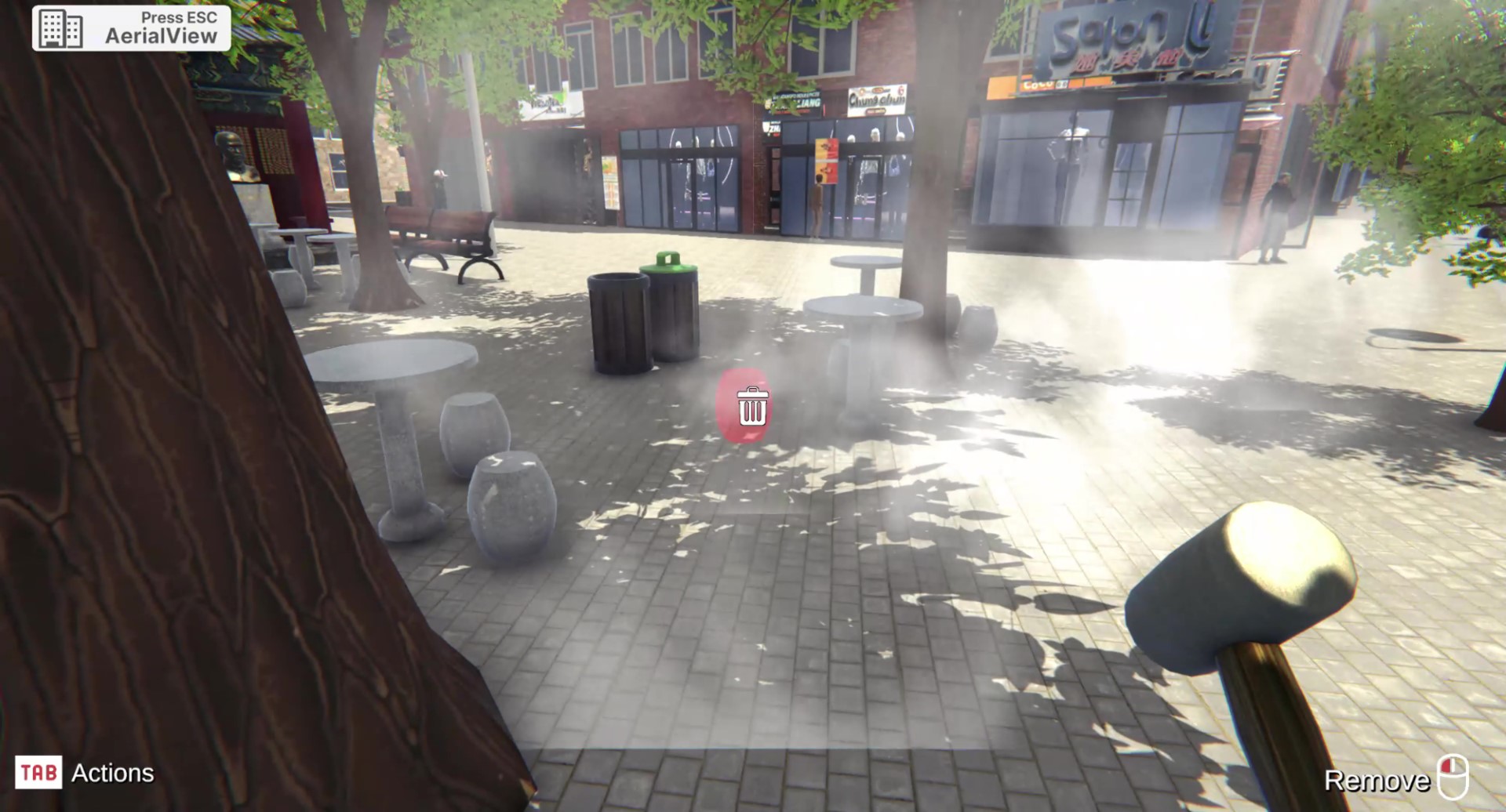
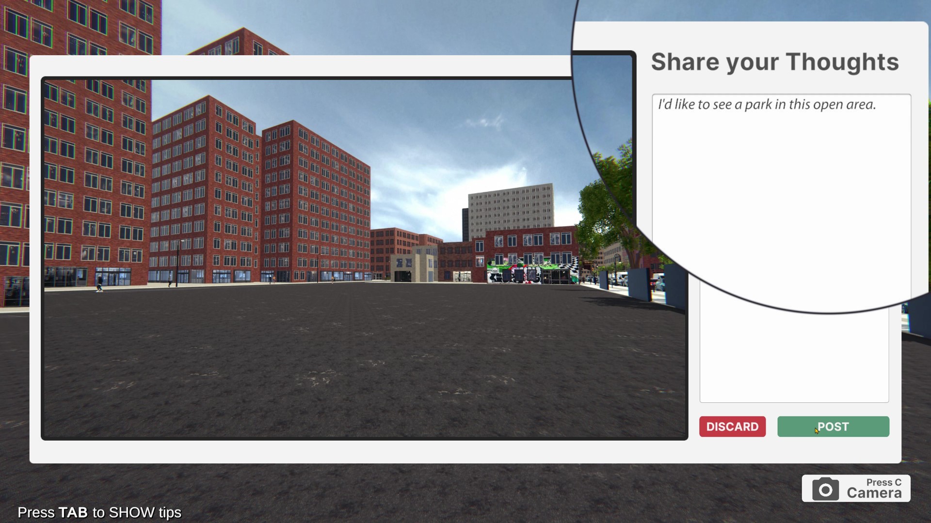
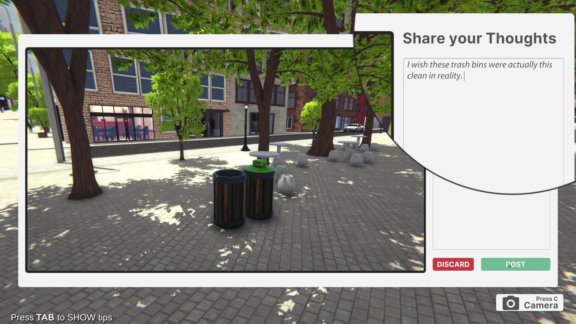
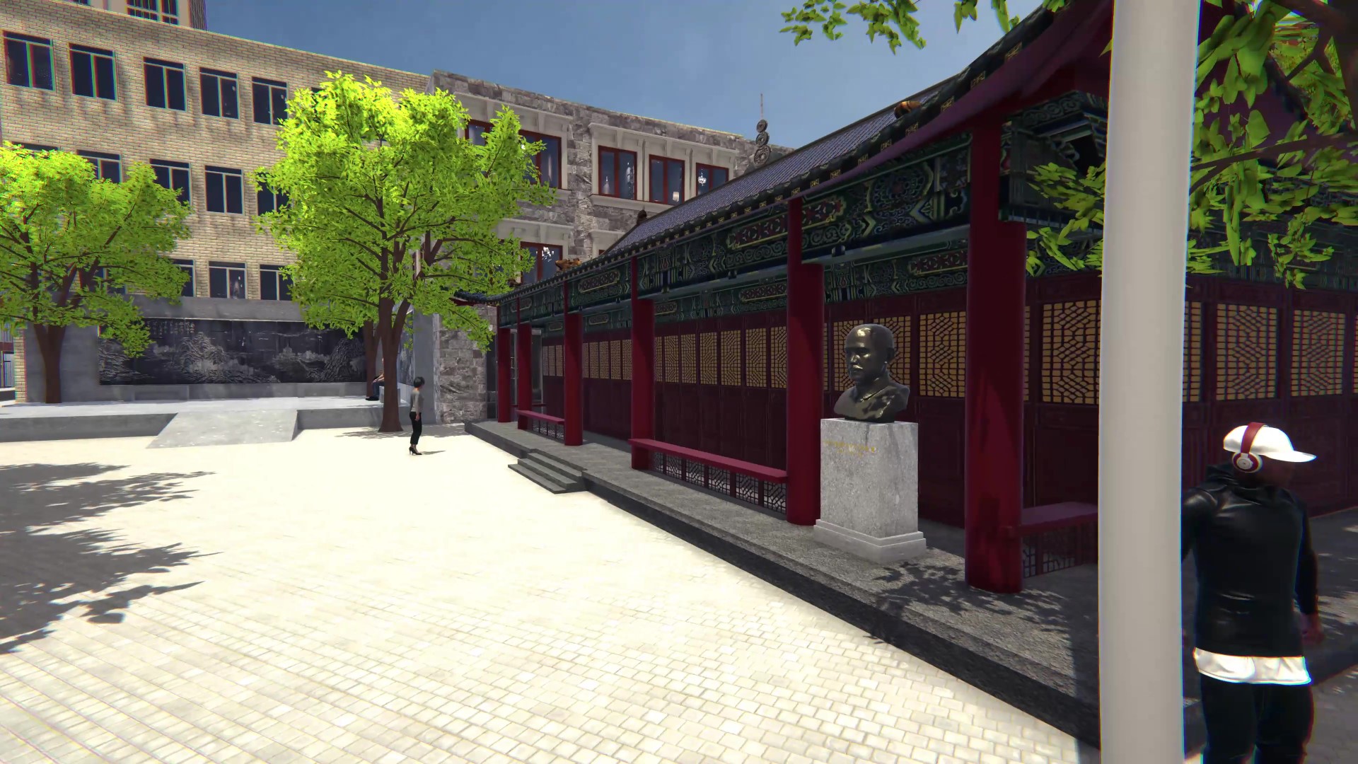
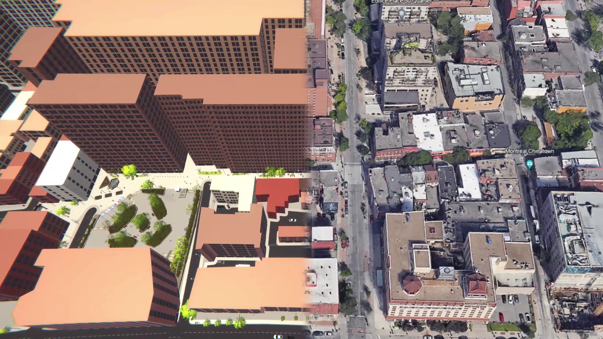
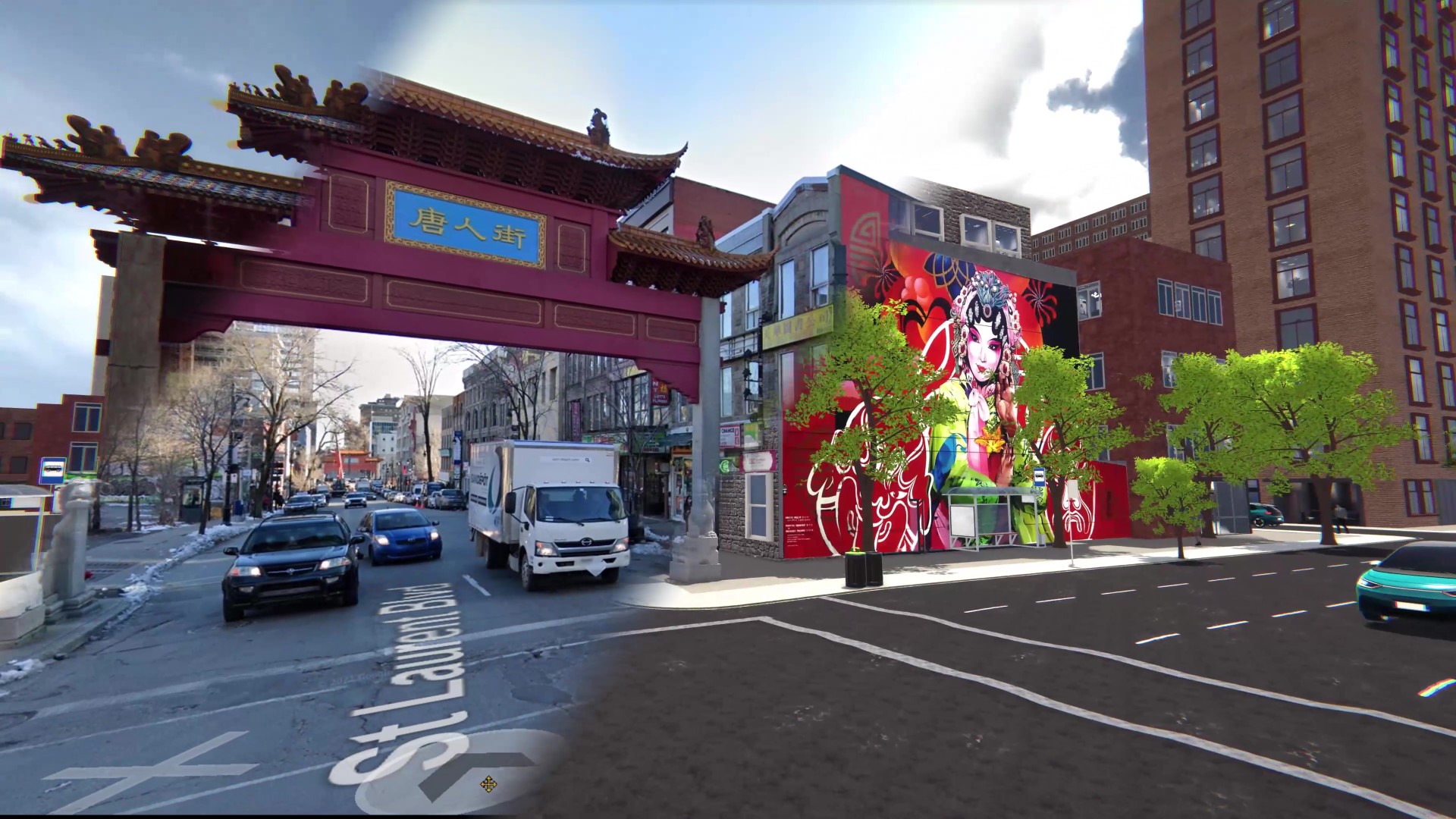
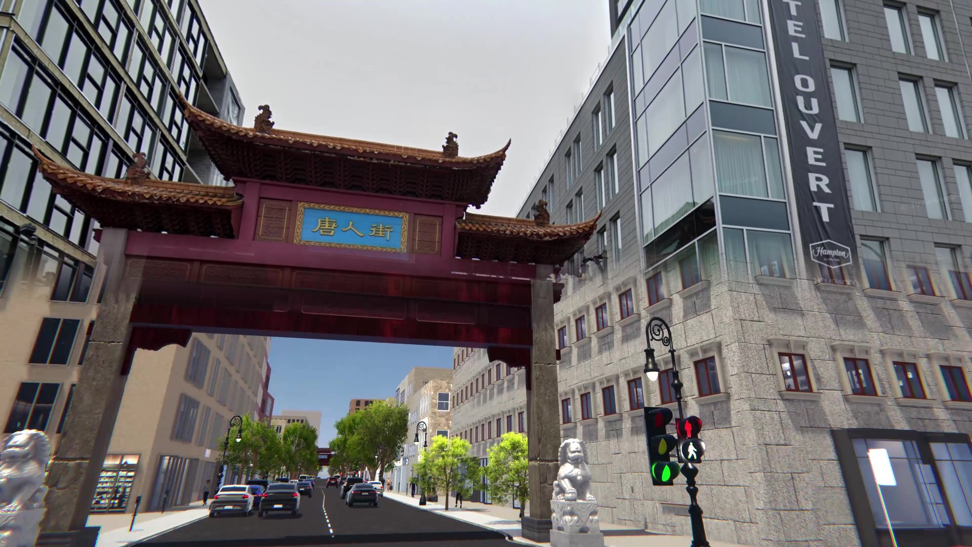
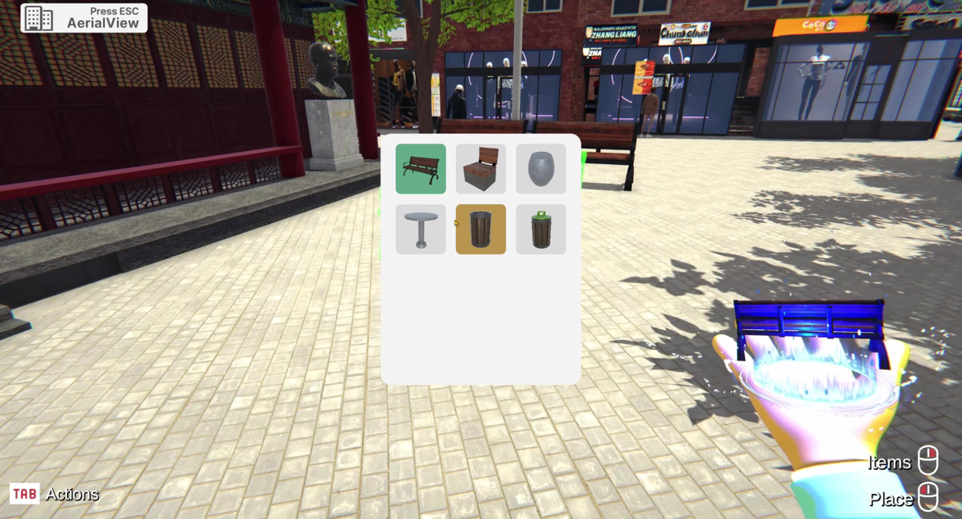
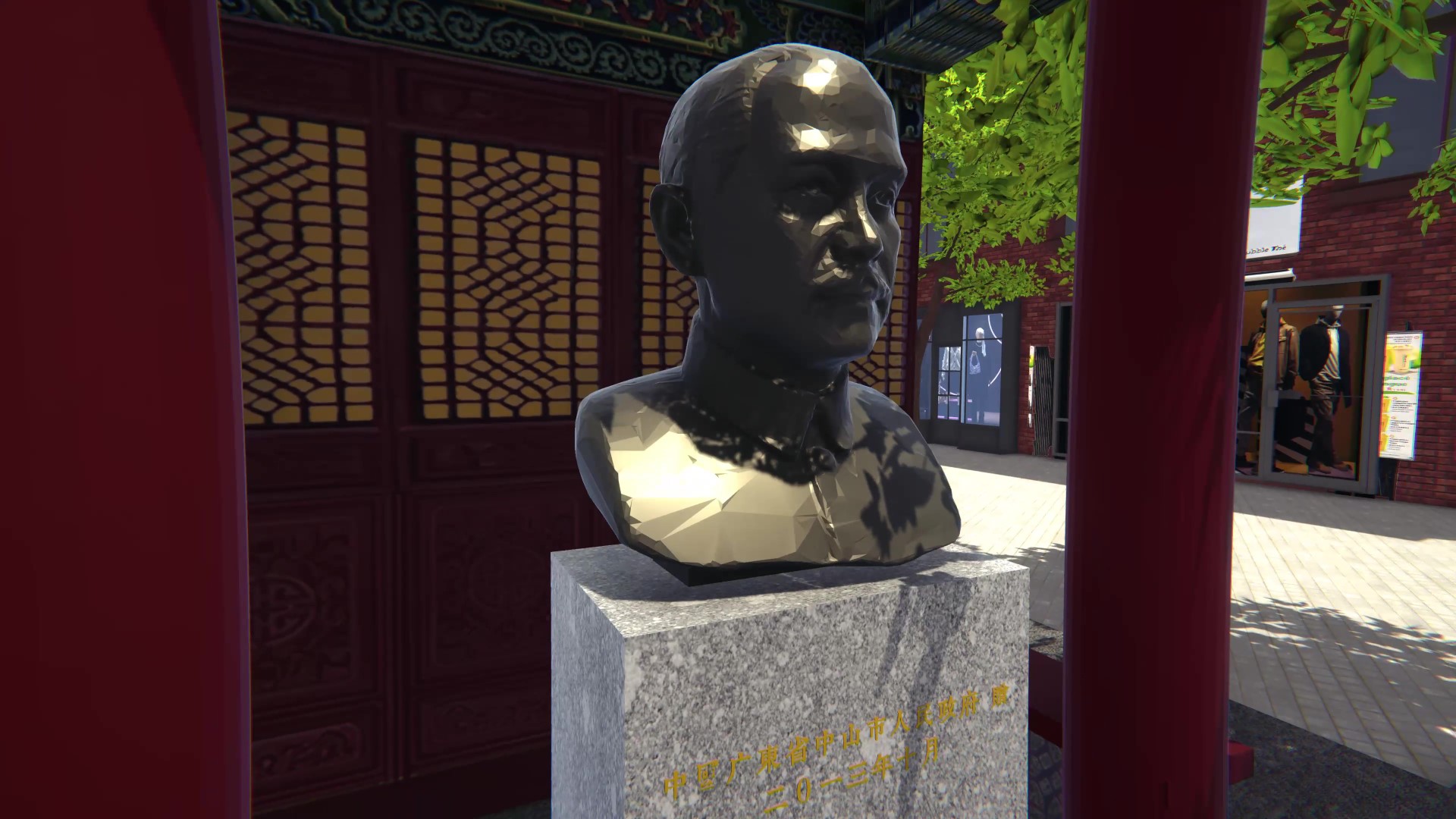
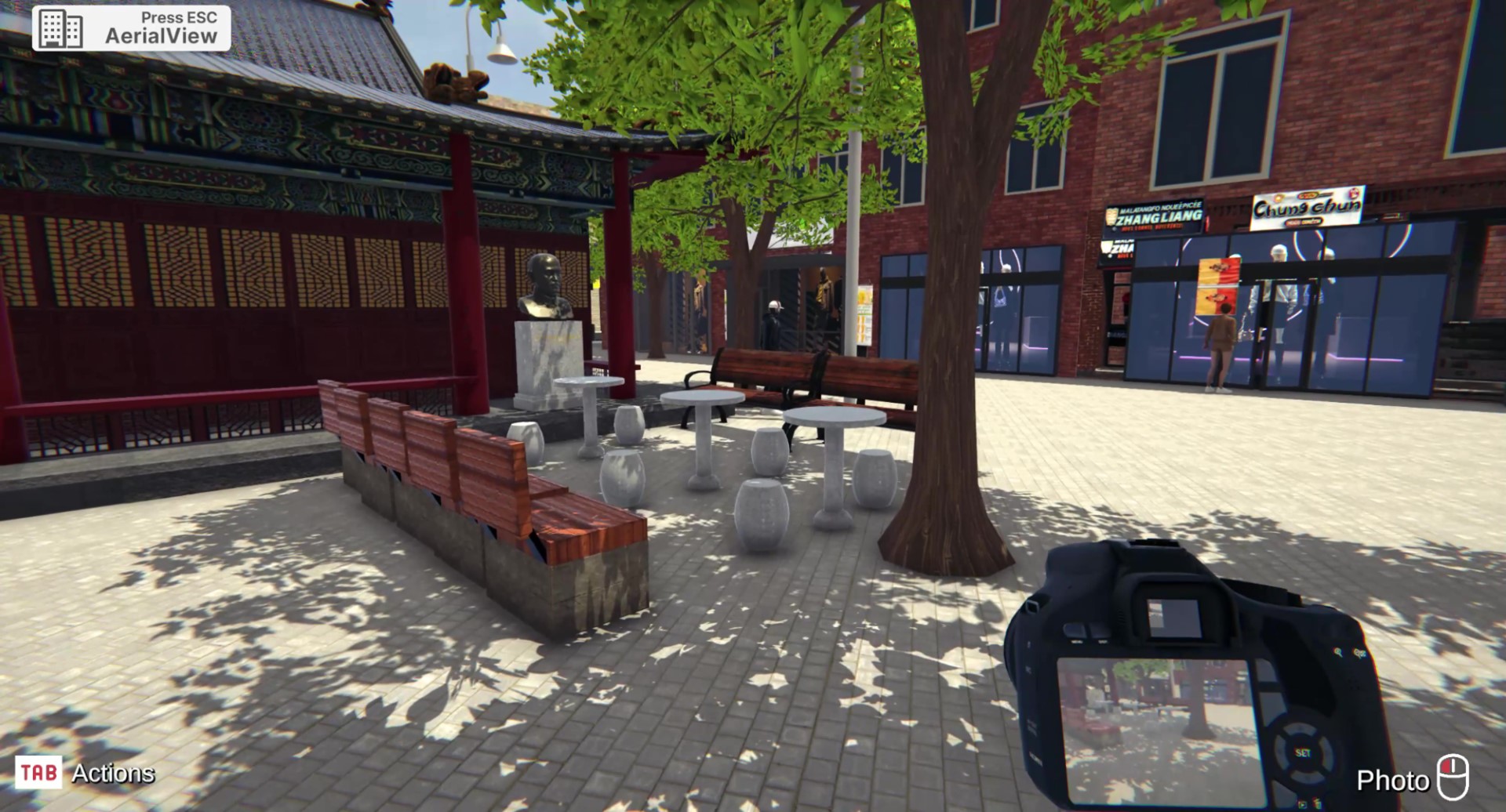
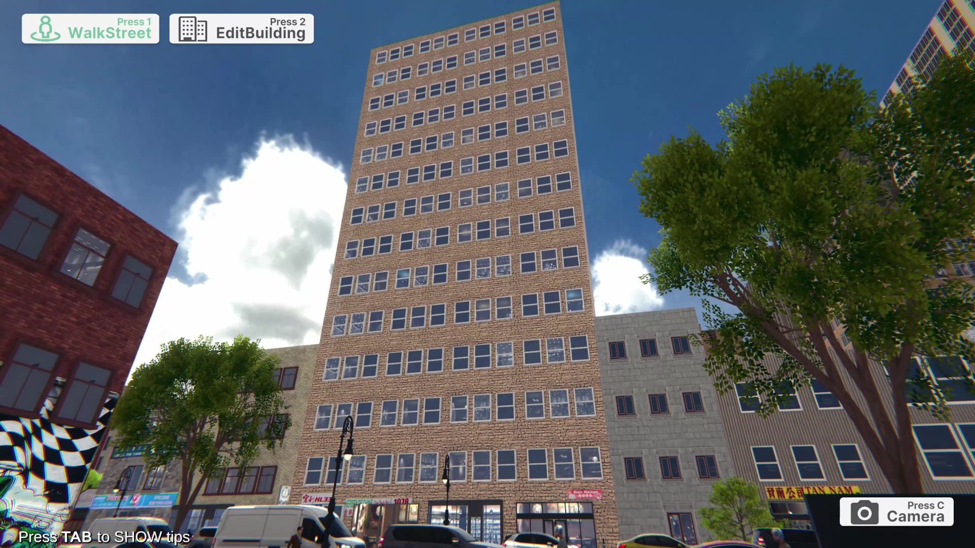
Overview: Contributed to the early-stage R&D for the City Player platform, focusing on the digital preservation of Montreal’s Chinatown district. The goal was to create a recognizable, interactive environment to engage the community in discussions about urban planning and heritage.

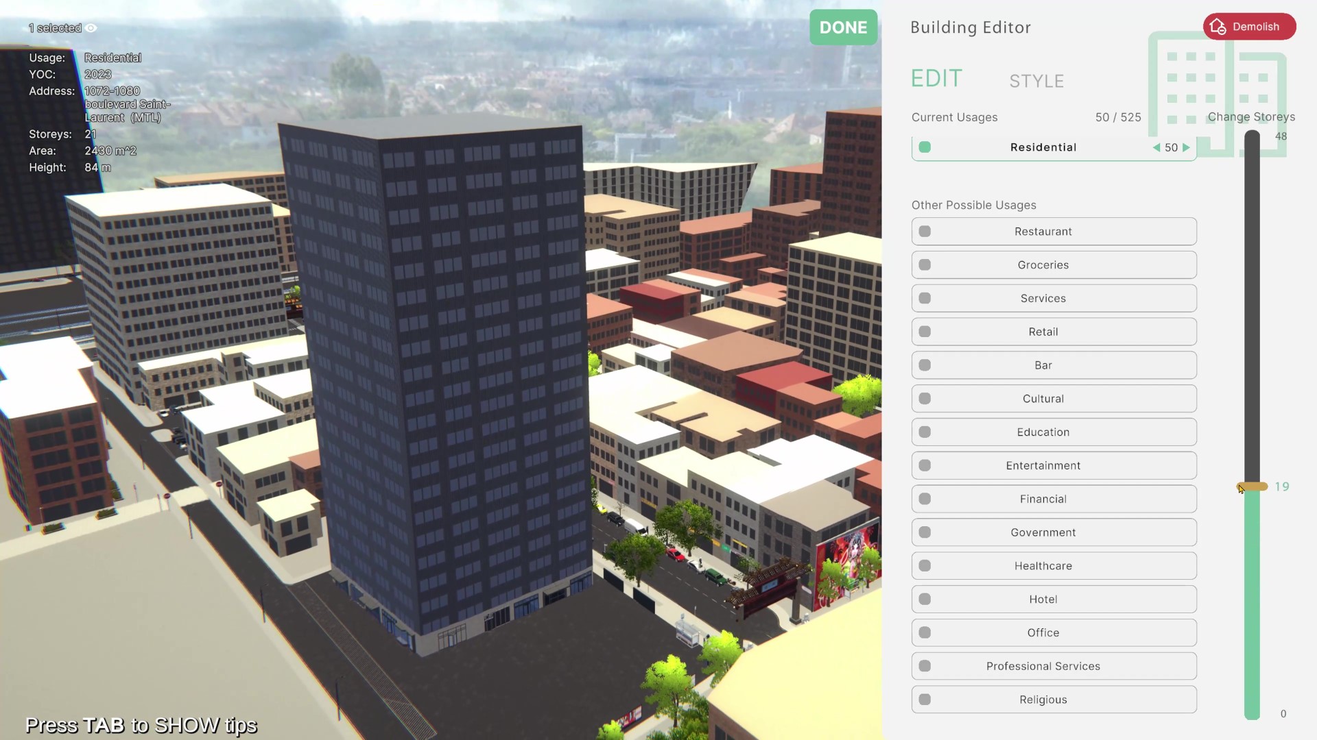
Data Integration Pipeline: Implemented an automated modeling workflow that synthesized heterogeneous data sources:

  • Data Ingestion: Parsed Satellite Data and public city records (GIS) to generate accurate building footprints and heights.
  • Visual Reference: Integrated Google Maps data to assist in the texture projection and facade detailing process.
Digital Preservation: Reconstructing the Paifang (Gate) and District Layout

2. Procedural Facades & Depth Generation

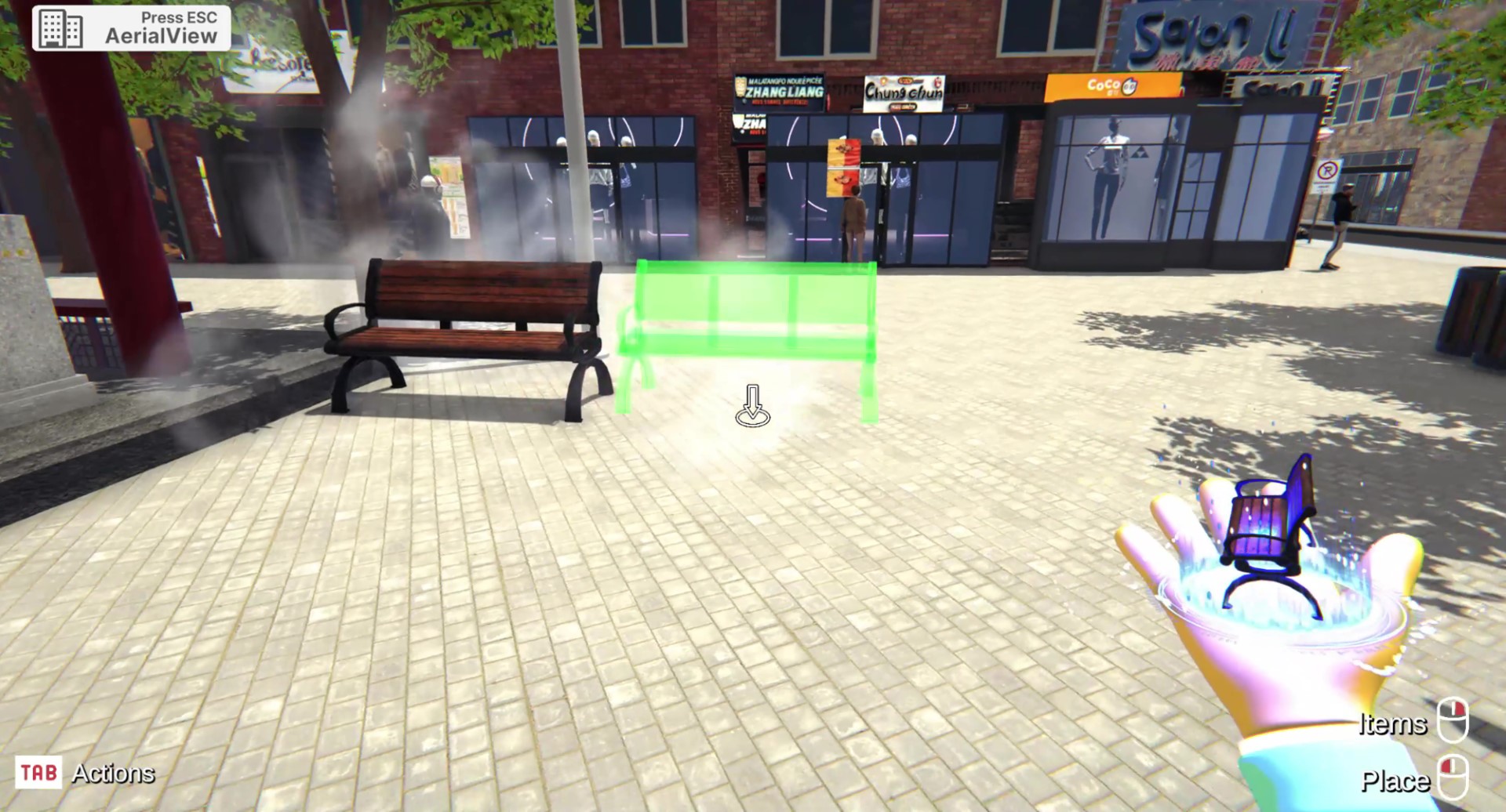
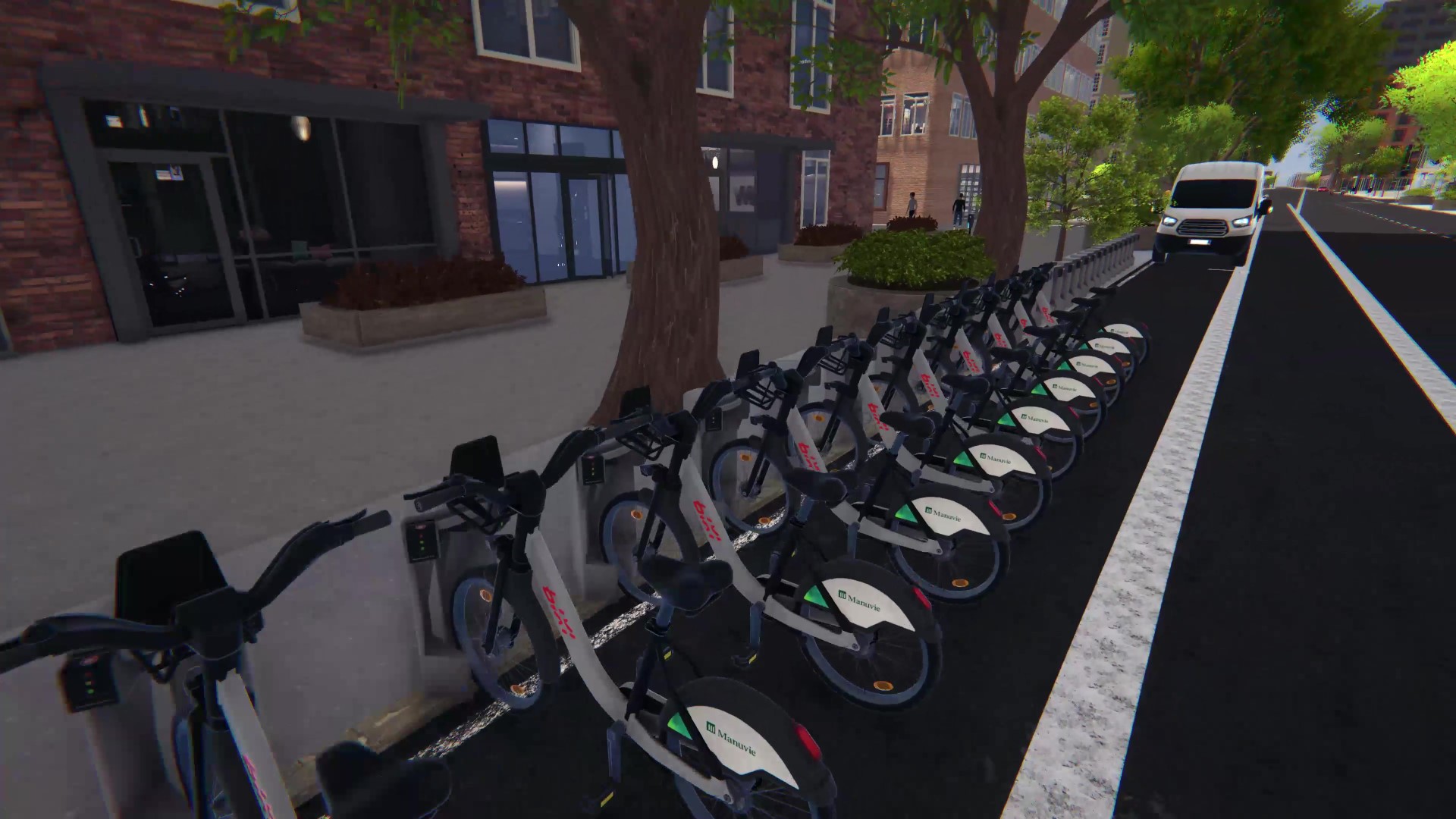
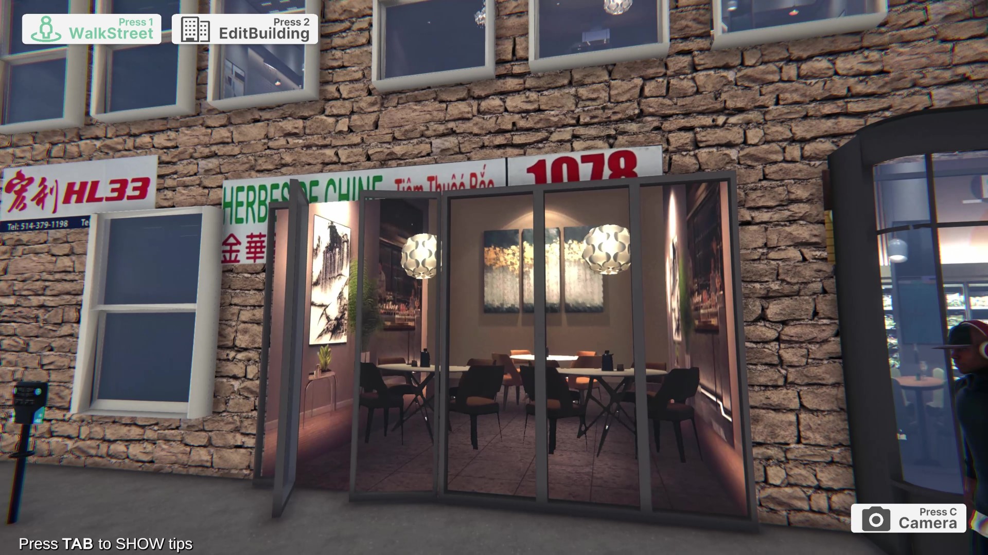
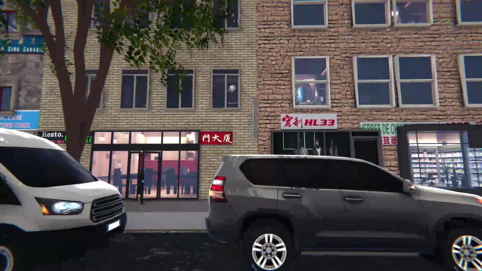
The Challenge: Standard satellite photogrammetry often results in “flat” textures lacking depth.

The Solution: Developed a Procedural Facade System to inject visual fidelity:

  • Window Logic: Implemented a system to generate procedural window frames and Fake Interiors based on building function.
  • Dynamic Styling: The system allowed for adjustable styles based on the angle of view, creating a layered visual depth that mimics complex geometry without the high polygon cost of modeling every window sill.
Procedural Detailing: Adding depth to flat building data

3. AI-Assisted Asset Optimization

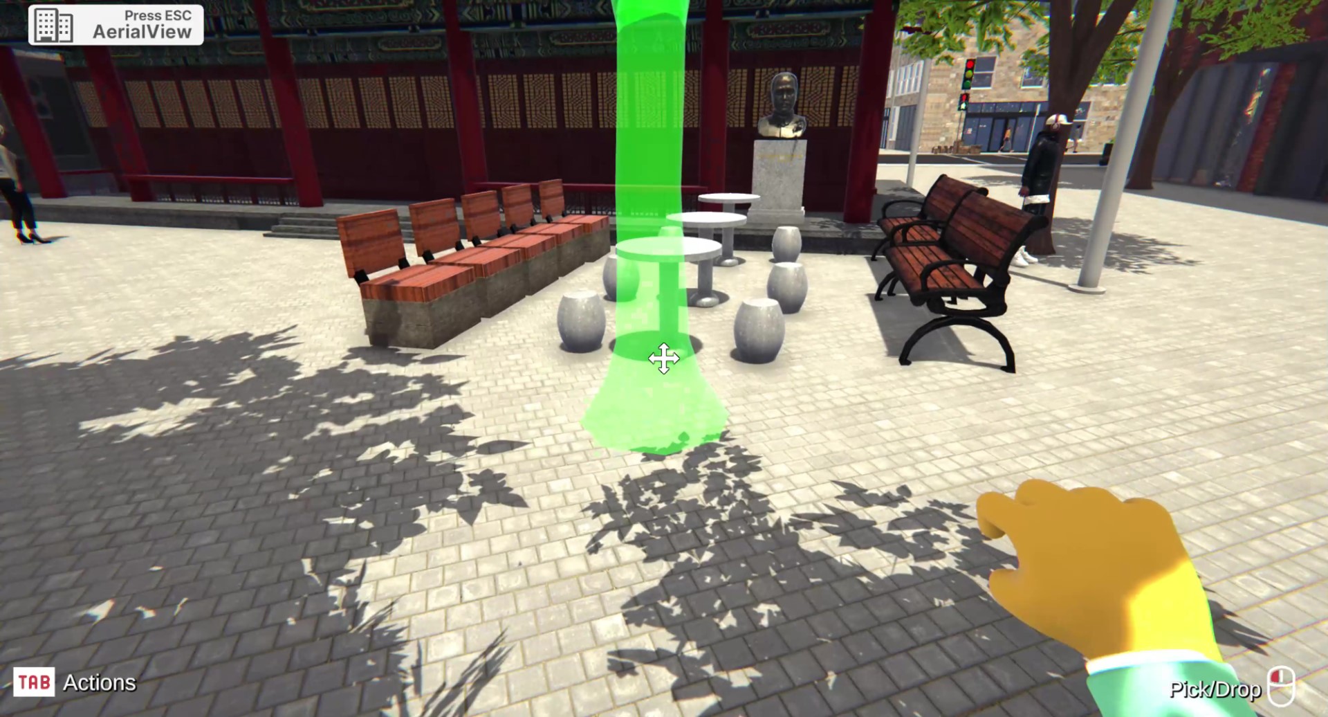
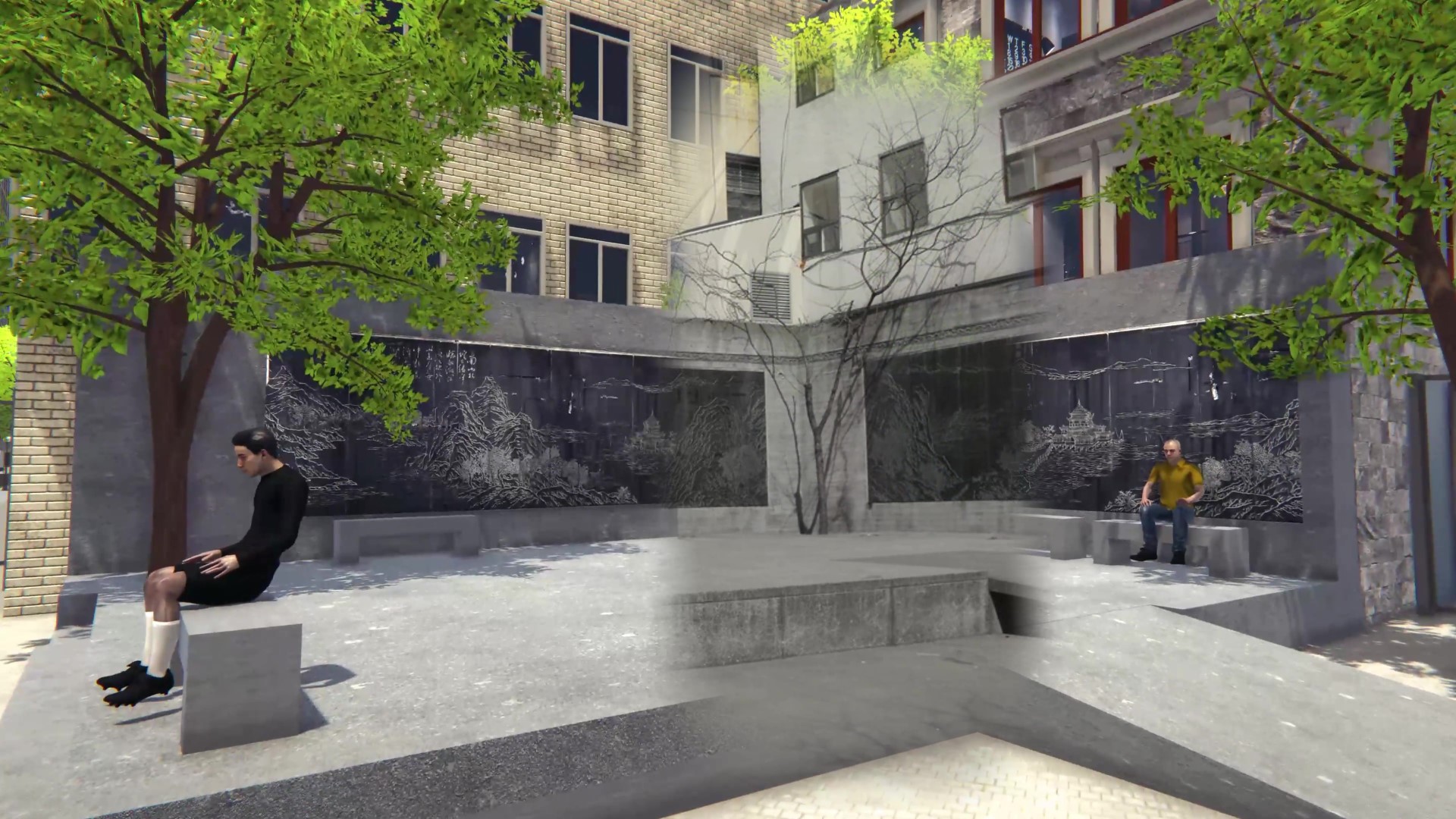
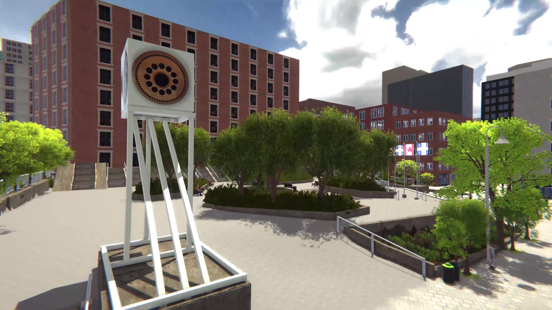
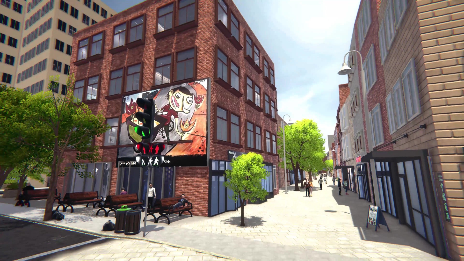
Vegetation Classification (AI Workflow): Faced with a chaotic dataset of over 100 unclassified urban plant assets, I devised an AI-assisted sorting workflow:

  • AI Analysis: Utilized ChatGPT to analyze botanical names and metadata, classifying the 100+ types into functional categories (e.g., “Street Canopy”, “Decorative Shrub”).
  • Consolidation: Based on this classification, I consolidated the library into 10 high-quality, reusable “Master Models”.
  • Impact: This dramatically improved scene organization (Hierarchy cleanup) and runtime efficiency (GPU Instancing) without sacrificing ecological variety.

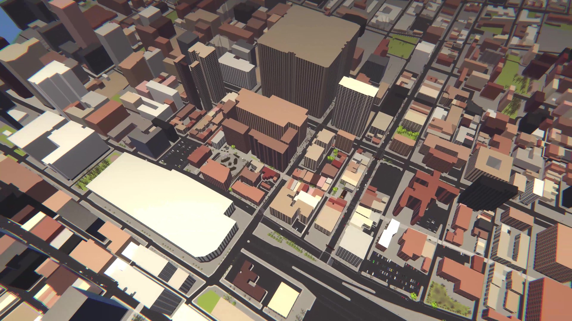
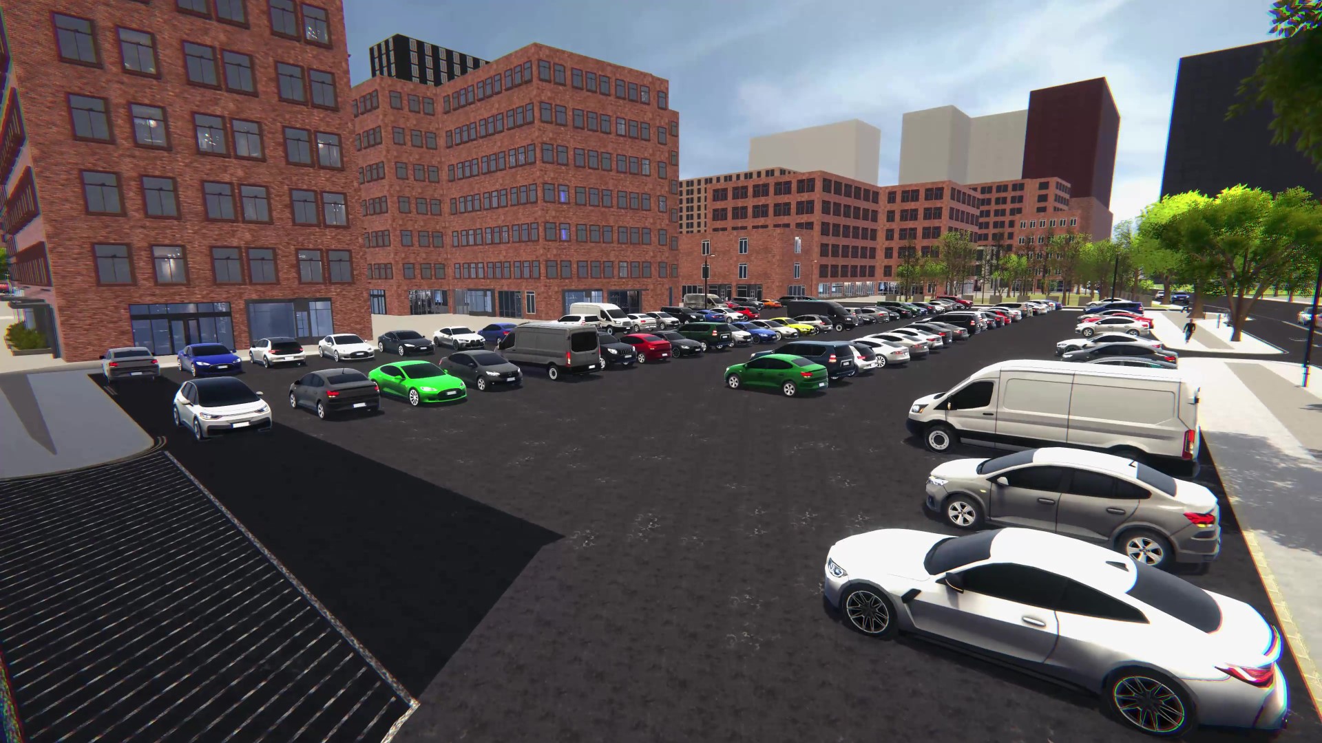
Performance Tuning: Optimized the district by implementing aggressive LOD (Level of Detail) groups and Mesh Merging strategies to reduce Draw Calls in the dense urban environment.

Vegetation Optimization Comparison
Optimization: AI-Assisted Asset Consolidation